
Z3 topographic map
Interactive map
Click on the map to display elevation.
About this map
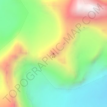
Name: Z3 topographic map, elevation, terrain.
Location: Z3, Zanskar tehsil, Distrito de Cargil, Ladaque, Índia (33.69908 76.31403 33.69918 76.31413)
Average elevation: 5,596 m
Minimum elevation: 5,099 m
Maximum elevation: 6,307 m