
Rochester topographic map
Interactive map
Click on the map to display elevation.
About this map
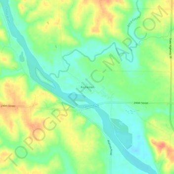
Name: Rochester topographic map, elevation, terrain.
Location: Rochester, Cedar County, Iowa, United States (41.65391 -91.17849 41.69391 -91.13849)
Average elevation: 216 m
Minimum elevation: 193 m
Maximum elevation: 246 m