
硕放镇 topographic map
Interactive map
Click on the map to display elevation.
About this map
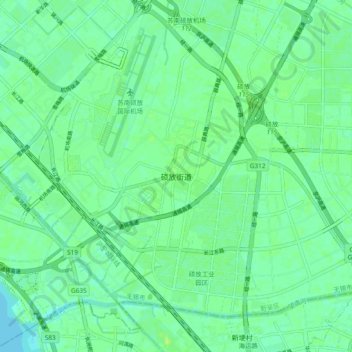
Name: 硕放镇 topographic map, elevation, terrain.
Location: 硕放镇, 新吴区 (XinWu), 无锡市 / Wuxi, Jiangsu, 214000, RPC (31.43937 120.40237 31.51937 120.48237)
Average elevation: 6 m
Minimum elevation: -1 m
Maximum elevation: 11 m