
Thank you for supporting this site ❤️
Make a donation
Make a donation
Al Hanuvil topographic map
Click on the map to display elevation.
Thank you for supporting this site ❤️
Make a donation
Make a donation
About this map
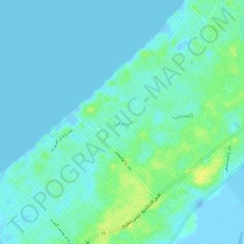
Name: Al Hanuvil topographic map, elevation, terrain.
Location: Al Hanuvil, Alexandria, 21575, Egypt (31.09139 29.74500 31.13139 29.78500)
Average elevation: 5 m
Minimum elevation: -25 m
Maximum elevation: 18 m
Thank you for supporting this site ❤️
Make a donation
Make a donation