
Thank you for supporting this site ❤️
Make a donation
Make a donation
Moulin topographic map
Click on the map to display elevation.
Thank you for supporting this site ❤️
Make a donation
Make a donation
About this map
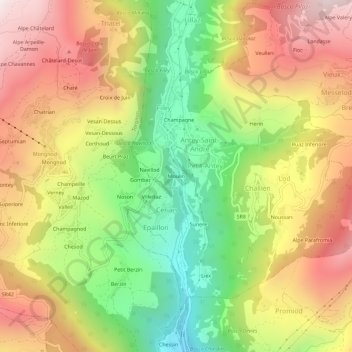
Name: Moulin topographic map, elevation, terrain.
Location: Moulin, Ruvere, Antey-Saint-André, Aosta Valley, 11020, Italy (45.78113 7.56913 45.82113 7.60913)
Average elevation: 1,410 m
Minimum elevation: 798 m
Maximum elevation: 2,023 m
Thank you for supporting this site ❤️
Make a donation
Make a donation