
Thank you for supporting this site ❤️
Make a donation
Make a donation
Jizzax topographic map
Click on the map to display elevation.
Thank you for supporting this site ❤️
Make a donation
Make a donation
Jizzax
From the slopes of the mountains at an altitude of 1800 meters above sea level, pine forests begin. As the mountains rise, the pine forest thickens.
Thank you for supporting this site ❤️
Make a donation
Make a donation
About this map
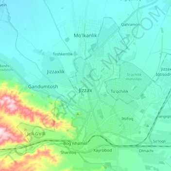
Name: Jizzax topographic map, elevation, terrain.
Location: Jizzax, Jizzakh Region, 130100, Uzbekistan (40.08817 67.75990 40.18358 67.91570)
Average elevation: 381 m
Minimum elevation: 325 m
Maximum elevation: 660 m
Thank you for supporting this site ❤️
Make a donation
Make a donation