
Thank you for supporting this site ❤️
Make a donation
Make a donation
Al Bawathil topographic map
Click on the map to display elevation.
Thank you for supporting this site ❤️
Make a donation
Make a donation
About this map
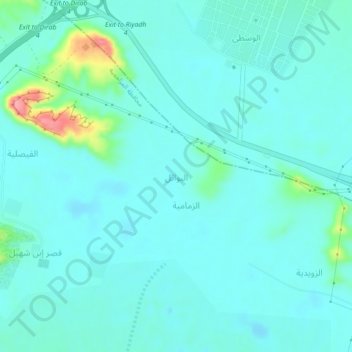
Name: Al Bawathil topographic map, elevation, terrain.
Location: Al Bawathil, Al Muzahimiyah, Riyadh Region, Saudi Arabia (24.46709 46.33894 24.50709 46.37894)
Average elevation: 625 m
Minimum elevation: 609 m
Maximum elevation: 709 m
Thank you for supporting this site ❤️
Make a donation
Make a donation
Other topographic maps
Click on a map to view its topography, its elevation and its terrain.