
Hof van Liere topographic map
Interactive map
Click on the map to display elevation.
About this map
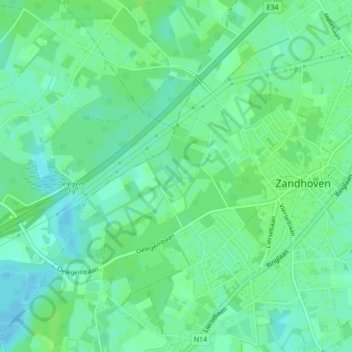
Name: Hof van Liere topographic map, elevation, terrain.
Average elevation: 9 m
Minimum elevation: 3 m
Maximum elevation: 13 m
Other topographic maps
Click on a map to view its topography, its elevation and its terrain.
Sterrebeek
België > Vlaanderen > Zandhoven
Sterrebeek, Zandhoven, Antwerpen, Vlaanderen, 2242, België
Average elevation: 8 m