
Pochuta topographic map
Interactive map
Click on the map to display elevation.
About this map
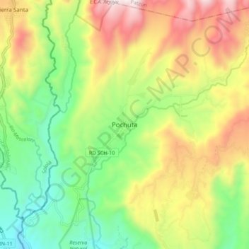
Name: Pochuta topographic map, elevation, terrain.
Location: Pochuta, Chimaltenango, Guatemala (14.50514 -91.12899 14.58514 -91.04899)
Average elevation: 1,048 m
Minimum elevation: 592 m
Maximum elevation: 1,672 m