
St. Joseph topographic map
Interactive map
Click on the map to display elevation.
About this map
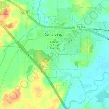
Name: St. Joseph topographic map, elevation, terrain.
Location: St. Joseph, Stearns County, Minnesota, États-Unis d'Amérique (45.52981 -94.34281 45.58023 -94.27561)
Average elevation: 336 m
Minimum elevation: 319 m
Maximum elevation: 369 m