
Mont Lubin topographic map
Interactive map
Click on the map to display elevation.
About this map
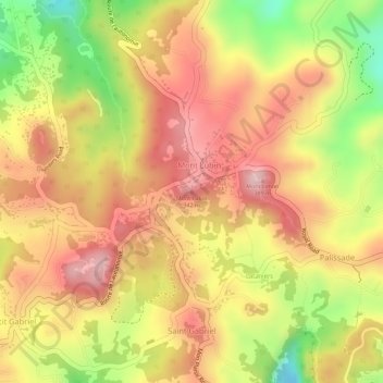
Name: Mont Lubin topographic map, elevation, terrain.
Location: Mont Lubin, Rodrigues, Mauritius (-19.70743 63.44127 -19.70733 63.44137)
Average elevation: 293 m
Minimum elevation: 141 m
Maximum elevation: 386 m