
Thank you for supporting this site ❤️
Make a donation
Make a donation
Matebeleng (Ha Maduna) topographic map
Click on the map to display elevation.
Thank you for supporting this site ❤️
Make a donation
Make a donation
About this map
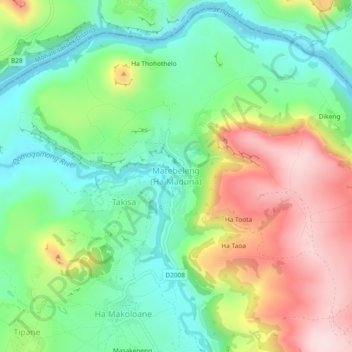
Name: Matebeleng (Ha Maduna) topographic map, elevation, terrain.
Location: Matebeleng (Ha Maduna), Quthing District, Lesotho (-30.37985 27.63261 -30.33985 27.67261)
Average elevation: 1,537 m
Minimum elevation: 1,406 m
Maximum elevation: 1,744 m
Thank you for supporting this site ❤️
Make a donation
Make a donation