
Thank you for supporting this site ❤️
Make a donation
Make a donation
Santaquin topographic map
Click on the map to display elevation.
Thank you for supporting this site ❤️
Make a donation
Make a donation
About this map
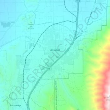
Name: Santaquin topographic map, elevation, terrain.
Location: Santaquin, Utah County, Utah, 84655, United States (39.93830 -111.84303 40.00468 -111.73418)
Average elevation: 1,701 m
Minimum elevation: 1,391 m
Maximum elevation: 2,993 m
Thank you for supporting this site ❤️
Make a donation
Make a donation
Other topographic maps
Click on a map to view its topography, its elevation and its terrain.
Thank you for supporting this site ❤️
Make a donation
Make a donation
Thank you for supporting this site ❤️
Make a donation
Make a donation
Thank you for supporting this site ❤️
Make a donation
Make a donation