
Thank you for supporting this site ❤️
Make a donation
Make a donation
Gajahan topographic map
Click on the map to display elevation.
Thank you for supporting this site ❤️
Make a donation
Make a donation
About this map
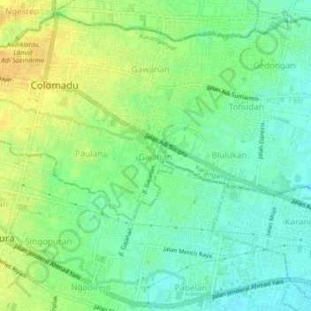
Name: Gajahan topographic map, elevation, terrain.
Location: Gajahan, Karanganyar, Central Java, Java, 57173, Indonesia (-7.56150 110.74177 -7.52150 110.78177)
Average elevation: 117 m
Minimum elevation: 104 m
Maximum elevation: 132 m
Thank you for supporting this site ❤️
Make a donation
Make a donation