
Thank you for supporting this site ❤️
Make a donation
Make a donation
Black Jack Mountain topographic map
Click on the map to display elevation.
Thank you for supporting this site ❤️
Make a donation
Make a donation
About this map
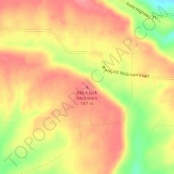
Name: Black Jack Mountain topographic map, elevation, terrain.
Average elevation: 160 m
Minimum elevation: 108 m
Maximum elevation: 186 m
Thank you for supporting this site ❤️
Make a donation
Make a donation
Other topographic maps
Click on a map to view its topography, its elevation and its terrain.
Thank you for supporting this site ❤️
Make a donation
Make a donation
Beebe
United States > Arkansas > White County
Beebe made international news in early January 2011 following the death of more than 3,000 red-winged blackbirds and European starlings over the community. Arkansas state wildlife authorities first received reports on December 31, 2010, shortly before midnight. Further investigation revealed the birds fell…
Average elevation: 71 m
Thank you for supporting this site ❤️
Make a donation
Make a donation