
Thank you for supporting this site ❤️
Make a donation
Make a donation
Hingurukaduwa topographic map
Click on the map to display elevation.
Thank you for supporting this site ❤️
Make a donation
Make a donation
About this map
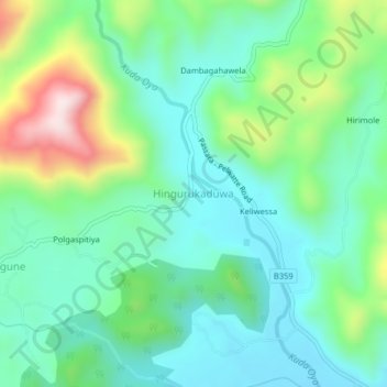
Name: Hingurukaduwa topographic map, elevation, terrain.
Location: Hingurukaduwa, Monaragala District, Uva Province, Sri Lanka (6.79499 81.14199 6.83499 81.18199)
Average elevation: 329 m
Minimum elevation: 191 m
Maximum elevation: 696 m
Thank you for supporting this site ❤️
Make a donation
Make a donation