
Thank you for supporting this site ❤️
Make a donation
Make a donation
South Haven topographic map
Click on the map to display elevation.
Thank you for supporting this site ❤️
Make a donation
Make a donation
About this map
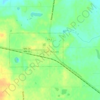
Name: South Haven topographic map, elevation, terrain.
Location: South Haven, Wright County, Minnesota, United States (45.28812 -94.22770 45.29734 -94.20704)
Average elevation: 333 m
Minimum elevation: 318 m
Maximum elevation: 349 m
Thank you for supporting this site ❤️
Make a donation
Make a donation