
La Cierva topographic map
Interactive map
Click on the map to display elevation.
About this map
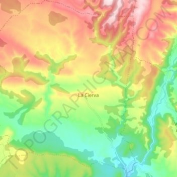
Name: La Cierva topographic map, elevation, terrain.
Location: La Cierva, Cuenca, Castile-La Mancha, Spain (40.01216 -1.92958 40.10766 -1.81770)
Average elevation: 1,210 m
Minimum elevation: 1,010 m
Maximum elevation: 1,484 m