
Thank you for supporting this site ❤️
Make a donation
Make a donation
Metz topographic map
Click on the map to display elevation.
Thank you for supporting this site ❤️
Make a donation
Make a donation
About this map
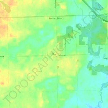
Name: Metz topographic map, elevation, terrain.
Location: Metz, Steuben County, Indiana, United States (41.59616 -84.85940 41.63616 -84.81940)
Average elevation: 297 m
Minimum elevation: 281 m
Maximum elevation: 314 m
Thank you for supporting this site ❤️
Make a donation
Make a donation
Other topographic maps
Click on a map to view its topography, its elevation and its terrain.