
Thank you for supporting this site ❤️
Make a donation
Make a donation
L'Oteru topographic map
Click on the map to display elevation.
Thank you for supporting this site ❤️
Make a donation
Make a donation
About this map
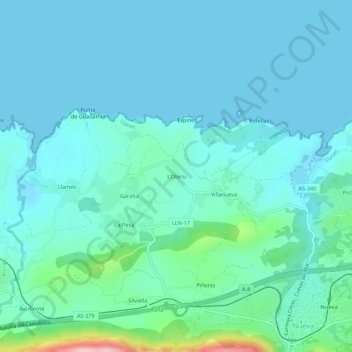
Name: L'Oteru topographic map, elevation, terrain.
Location: L'Oteru, Llanes, Asturias, 33591, España (43.43456 -4.97932 43.47456 -4.93932)
Average elevation: 37 m
Minimum elevation: -3 m
Maximum elevation: 261 m
Thank you for supporting this site ❤️
Make a donation
Make a donation