
内離島 topographic map
Interactive map
Click on the map to display elevation.
About this map
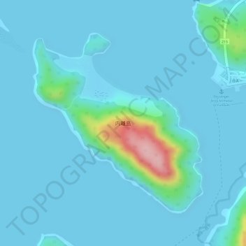
Name: 内離島 topographic map, elevation, terrain.
Location: 内離島, 竹富町, 八重山郡, Prefectura de Okinawa, 九州地方, Japón (24.34569 123.72377 24.36556 123.74438)
Average elevation: 18 m
Minimum elevation: 0 m
Maximum elevation: 184 m