
Thank you for supporting this site ❤️
Make a donation
Make a donation
Breitinden topographic map
Click on the map to display elevation.
Thank you for supporting this site ❤️
Make a donation
Make a donation
About this map
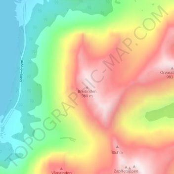
Name: Breitinden topographic map, elevation, terrain.
Location: Breitinden, Tromsø, Troms og Finnmark, Norge (69.74368 18.52928 69.74378 18.52938)
Average elevation: 437 m
Minimum elevation: -1 m
Maximum elevation: 973 m
Thank you for supporting this site ❤️
Make a donation
Make a donation
Other topographic maps
Click on a map to view its topography, its elevation and its terrain.