
Thank you for supporting this site ❤️
Make a donation
Make a donation
Enni topographic map
Click on the map to display elevation.
Thank you for supporting this site ❤️
Make a donation
Make a donation
About this map
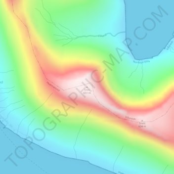
Name: Enni topographic map, elevation, terrain.
Location: Enni, Hvannasund, Norðoya sýsla, 740, Færøerne (62.29643 -6.48830 62.29653 -6.48820)
Average elevation: 219 m
Minimum elevation: -4 m
Maximum elevation: 649 m
Thank you for supporting this site ❤️
Make a donation
Make a donation