
Río topographic map
Interactive map
Click on the map to display elevation.
About this map
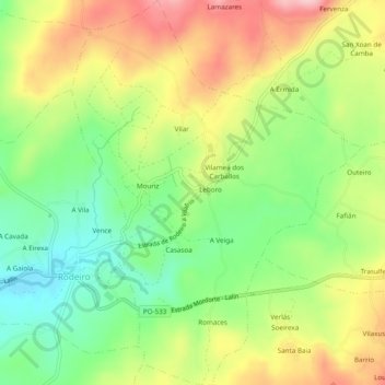
Name: Río topographic map, elevation, terrain.
Location: Río, Rodeiro, O Deza, Pontevedra, Galiza, Espanha (42.63903 -7.94851 42.67453 -7.91199)
Average elevation: 707 m
Minimum elevation: 621 m
Maximum elevation: 813 m