
Stewart Island (Tekuru Kuru) topographic map
Interactive map
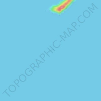
Click on the map to display elevation.
About this map
Name: Stewart Island (Tekuru Kuru) topographic map, elevation, terrain.
Average elevation: 1 m
Minimum elevation: 0 m
Maximum elevation: 89 m
Other topographic maps
Click on a map to view its topography, its elevation and its terrain.
White Bluffs / Te Parinui o Whiti
Nouvelle-Zélande > Marlborough
White Bluffs / Te Parinui o Whiti, Castles Road, Marlborough, Nouvelle-Zélande
Average elevation: 61 m