
Pangbourne topographic map
Interactive map
Click on the map to display elevation.
About this map
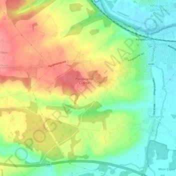
Name: Pangbourne topographic map, elevation, terrain.
Location: Pangbourne, West Berkshire, Inglaterra, Reino Unido (51.45962 -1.12757 51.49017 -1.07083)
Average elevation: 78 m
Minimum elevation: 38 m
Maximum elevation: 124 m