
Shan Ywar topographic map
Interactive map
Click on the map to display elevation.
About this map
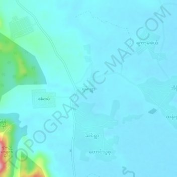
Name: Shan Ywar topographic map, elevation, terrain.
Location: Shan Ywar, Paung Township, Thaton District, Mon, Myanmar (16.65616 97.51176 16.69616 97.55176)
Average elevation: 20 m
Minimum elevation: 2 m
Maximum elevation: 200 m