
Mühlberg topographic map
Interactive map
Click on the map to display elevation.
About this map
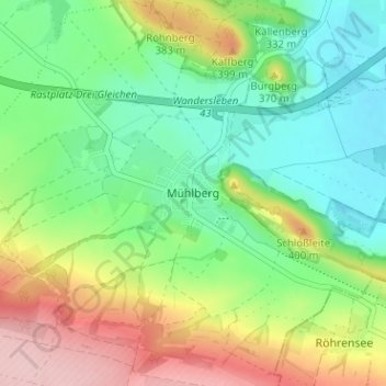
Name: Mühlberg topographic map, elevation, terrain.
Average elevation: 323 m
Minimum elevation: 255 m
Maximum elevation: 441 m
Other topographic maps
Click on a map to view its topography, its elevation and its terrain.
Gotha
Duitsland > Thüringen > Landkreis Gotha
Gotha, Landkreis Gotha, Thüringen, Duitsland
Average elevation: 320 m