
Thank you for supporting this site ❤️
Make a donation
Make a donation
Pisong topographic map
Click on the map to display elevation.
Thank you for supporting this site ❤️
Make a donation
Make a donation
About this map
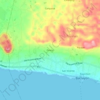
Name: Pisong topographic map, elevation, terrain.
Location: Pisong, Baclayon, Bohol, Central Visayas, 6301, Philippines (9.61333 123.88000 9.65333 123.92000)
Average elevation: 52 m
Minimum elevation: -1 m
Maximum elevation: 148 m
Thank you for supporting this site ❤️
Make a donation
Make a donation