
Thank you for supporting this site ❤️
Make a donation
Make a donation
Ortstock topographic map
Click on the map to display elevation.
Thank you for supporting this site ❤️
Make a donation
Make a donation
About this map
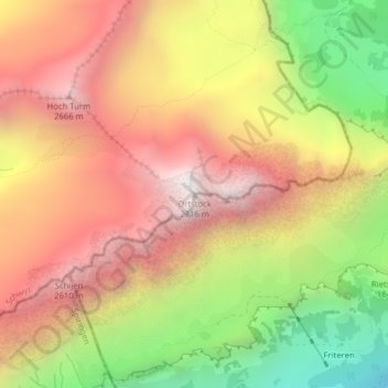
Name: Ortstock topographic map, elevation, terrain.
Location: Ortstock, Muotathal, Schwyz, 6436, Schweiz (46.92536 8.94815 46.92546 8.94825)
Average elevation: 2,069 m
Minimum elevation: 1,254 m
Maximum elevation: 2,713 m
Thank you for supporting this site ❤️
Make a donation
Make a donation
Other topographic maps
Click on a map to view its topography, its elevation and its terrain.