
Thank you for supporting this site ❤️
Make a donation
Make a donation
Jatitujuh topographic map
Click on the map to display elevation.
Thank you for supporting this site ❤️
Make a donation
Make a donation
About this map
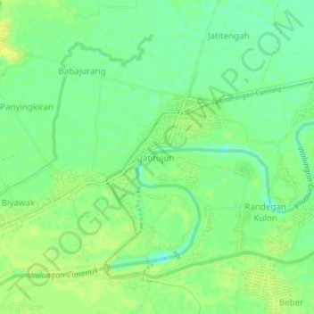
Name: Jatitujuh topographic map, elevation, terrain.
Location: Jatitujuh, Majalengka, West Java, Java, Indonesia (-6.66849 108.20720 -6.62849 108.24720)
Average elevation: 22 m
Minimum elevation: 12 m
Maximum elevation: 30 m
Thank you for supporting this site ❤️
Make a donation
Make a donation