
Altamaha topographic map
Interactive map
Click on the map to display elevation.
About this map
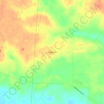
Name: Altamaha topographic map, elevation, terrain.
Location: Altamaha, Tattnall County, Georgia, United States of America (31.94159 -82.22734 31.98159 -82.18734)
Average elevation: 43 m
Minimum elevation: 18 m
Maximum elevation: 62 m