
Thank you for supporting this site ❤️
Make a donation
Make a donation
Mandap topographic map
Click on the map to display elevation.
Thank you for supporting this site ❤️
Make a donation
Make a donation
About this map
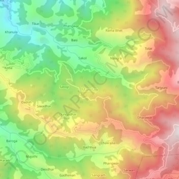
Name: Mandap topographic map, elevation, terrain.
Location: Mandap, Chachyot, Mandi, Himachal Pradesh, 175029, India (31.55812 77.06637 31.59812 77.10637)
Average elevation: 1,659 m
Minimum elevation: 1,140 m
Maximum elevation: 2,204 m
Thank you for supporting this site ❤️
Make a donation
Make a donation