
Llechryd topographic map
Interactive map
Click on the map to display elevation.
About this map
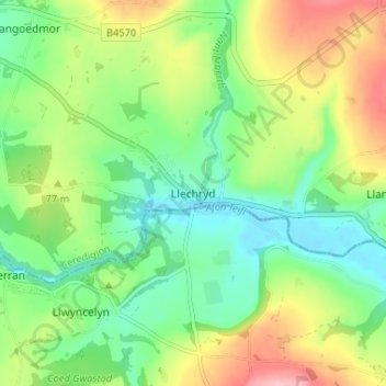
Name: Llechryd topographic map, elevation, terrain.
Location: Llechryd, Ceredigion, Pays de Galles, SA43 2NX, Royaume-Uni (52.04386 -4.62082 52.08386 -4.58082)
Average elevation: 60 m
Minimum elevation: 4 m
Maximum elevation: 156 m