
Loretto topographic map
Interactive map
Click on the map to display elevation.
About this map
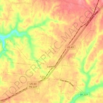
Name: Loretto topographic map, elevation, terrain.
Location: Loretto, Lawrence County, Tennessee, United States (35.05914 -87.47351 35.11341 -87.40280)
Average elevation: 249 m
Minimum elevation: 192 m
Maximum elevation: 281 m