
Cowlitz County topographic map
Interactive map
Click on the map to display elevation.
About this map
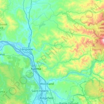
Name: Cowlitz County topographic map, elevation, terrain.
Location: Cowlitz County, Washington, Estados Unidos da América (45.85064 -123.22047 46.38623 -122.23995)
Average elevation: 358 m
Minimum elevation: -4 m
Maximum elevation: 2,355 m