
Thank you for supporting this site ❤️
Make a donation
Make a donation
Ranisar topographic map
Click on the map to display elevation.
Thank you for supporting this site ❤️
Make a donation
Make a donation
About this map
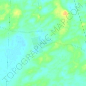
Name: Ranisar topographic map, elevation, terrain.
Location: Ranisar, Lunkaransar Tehsil, Bikaner, Rajasthan, India (28.88536 73.92630 28.92536 73.96630)
Average elevation: 203 m
Minimum elevation: 193 m
Maximum elevation: 223 m
Thank you for supporting this site ❤️
Make a donation
Make a donation