
Thank you for supporting this site ❤️
Make a donation
Make a donation
Middlemarch topographic map
Click on the map to display elevation.
Thank you for supporting this site ❤️
Make a donation
Make a donation
About this map
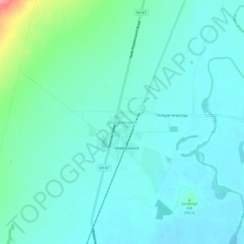
Name: Middlemarch topographic map, elevation, terrain.
Location: Middlemarch, Dunedin City, Otago, 9597, New Zealand (-45.52474 170.10186 -45.48474 170.14186)
Average elevation: 210 m
Minimum elevation: 192 m
Maximum elevation: 293 m
Thank you for supporting this site ❤️
Make a donation
Make a donation
Other topographic maps
Click on a map to view its topography, its elevation and its terrain.