
Thank you for supporting this site ❤️
Make a donation
Make a donation
Puerto Galera topographic map
Click on the map to display elevation.
Thank you for supporting this site ❤️
Make a donation
Make a donation
About this map
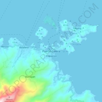
Name: Puerto Galera topographic map, elevation, terrain.
Location: Puerto Galera, Oriental Mindoro, Mimaropa, Philippines (13.46183 120.91418 13.54183 120.99418)
Average elevation: 81 m
Minimum elevation: -1 m
Maximum elevation: 996 m
Thank you for supporting this site ❤️
Make a donation
Make a donation