
Taxahaw topographic map
Interactive map
Click on the map to display elevation.
About this map
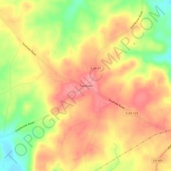
Name: Taxahaw topographic map, elevation, terrain.
Location: Taxahaw, Lancaster County, South Carolina, United States (34.66988 -80.53673 34.70988 -80.49673)
Average elevation: 167 m
Minimum elevation: 110 m
Maximum elevation: 204 m