
飞来寺 topographic map
Interactive map
Click on the map to display elevation.
About this map
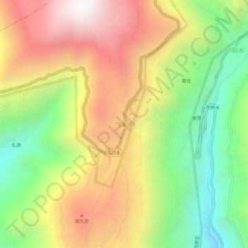
Name: 飞来寺 topographic map, elevation, terrain.
Location: 飞来寺, 升平镇, 德钦县, 迪庆藏族自治州, Yunnan, Chine (28.42630 98.86026 28.46630 98.90026)
Average elevation: 3,232 m
Minimum elevation: 2,552 m
Maximum elevation: 3,966 m