
Thank you for supporting this site ❤️
Make a donation
Make a donation
Akoluk topographic map
Click on the map to display elevation.
Thank you for supporting this site ❤️
Make a donation
Make a donation
About this map
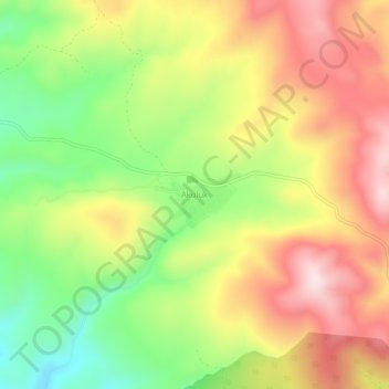
Name: Akoluk topographic map, elevation, terrain.
Location: Akoluk, Kütahya Merkez, Aegean Region, Turkey (39.30709 30.27148 39.34709 30.31148)
Average elevation: 1,379 m
Minimum elevation: 1,182 m
Maximum elevation: 1,572 m
Thank you for supporting this site ❤️
Make a donation
Make a donation