
Srinagar topographic map
Interactive map
Click on the map to display elevation.
About this map
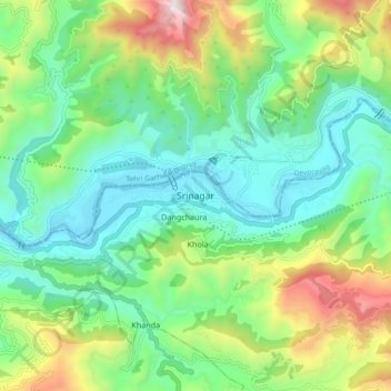
Name: Srinagar topographic map, elevation, terrain.
Location: Srinagar, Pauri Garhwal, Uttarakhand, 249127, India (30.18381 78.74790 30.26381 78.82790)
Average elevation: 859 m
Minimum elevation: 512 m
Maximum elevation: 1,668 m