
Houten topographic map
Interactive map
Click on the map to display elevation.
About this map
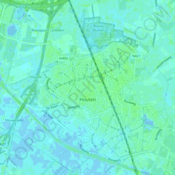
Name: Houten topographic map, elevation, terrain.
Location: Houten, Utrecht, Niederlande (52.00455 5.12177 52.05676 5.20353)
Average elevation: 2 m
Minimum elevation: -4 m
Maximum elevation: 6 m
Other topographic maps
Click on a map to view its topography, its elevation and its terrain.
Tull en 't Waal
Niederlande > Utrecht > Houten
Tull en 't Waal, Houten, Utrecht, Niederlande
Average elevation: 2 m
Schalkwijk
Niederlande > Utrecht > Houten
Schalkwijk, Houten, Utrecht, Niederlande
Average elevation: 3 m