
Loch Uir topographic map
Interactive map
Click on the map to display elevation.
About this map
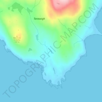
Name: Loch Uir topographic map, elevation, terrain.
Location: Loch Uir, Na h-Eileanan Siar, Écosse, Royaume-Uni (57.88928 -7.01515 57.89058 -7.01354)
Average elevation: 37 m
Minimum elevation: -1 m
Maximum elevation: 212 m
Other topographic maps
Click on a map to view its topography, its elevation and its terrain.
Baile Bhatarsaigh
Royaume-Uni > Écosse > Na h-Eileanan Siar
Baile Bhatarsaigh, Na h-Eileanan Siar, Écosse, HS9 5YU, Royaume-Uni
Average elevation: 19 m