
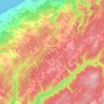
Saint-Adelme topographic map
Interactive map
Click on the map to display elevation.
About this map
Name: Saint-Adelme topographic map, elevation, terrain.
Location: Saint-Adelme, La Matanie, Bas-Saint-Laurent, Québec, Canada (48.75174 -67.40700 48.88227 -67.18081)
Average elevation: 237 m
Minimum elevation: 0 m
Maximum elevation: 408 m