
La Vega topographic map
Interactive map
Click on the map to display elevation.
About this map
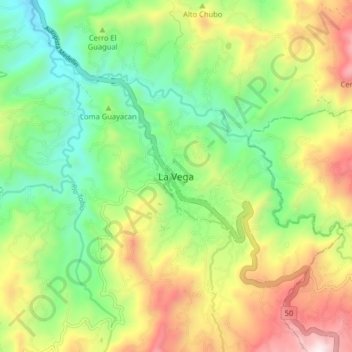
Name: La Vega topographic map, elevation, terrain.
Location: La Vega, Cundinamarca, La Vega, 253610, Colombia (4.95971 -74.37952 5.03971 -74.29952)
Average elevation: 1,315 m
Minimum elevation: 874 m
Maximum elevation: 1,995 m