
Zaqatala topographic map
Interactive map
Click on the map to display elevation.
About this map
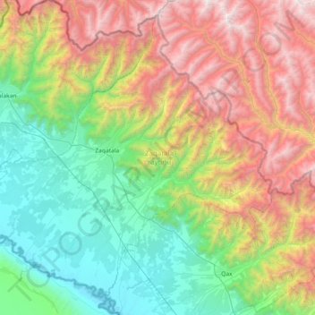
Name: Zaqatala topographic map, elevation, terrain.
Location: Zaqatala, Scheki-Zaqatala, Aserbaidschan (41.37337 46.29742 41.86255 47.02268)
Average elevation: 1,413 m
Minimum elevation: 165 m
Maximum elevation: 3,814 m