
Herman topographic map
Interactive map
Click on the map to display elevation.
About this map
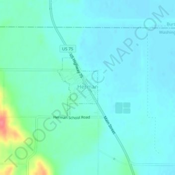
Name: Herman topographic map, elevation, terrain.
Location: Herman, Washington County, Nebraska, United States (41.66857 -96.22124 41.67778 -96.21293)
Average elevation: 320 m
Minimum elevation: 308 m
Maximum elevation: 375 m
Other topographic maps
Click on a map to view its topography, its elevation and its terrain.
Fort Calhoun
United States > Nebraska > Washington County
Fort Calhoun, Washington County, Nebraska, 68023, United States
Average elevation: 337 m
Blair
United States > Nebraska > Washington County
Blair, Washington County, Nebraska, United States
Average elevation: 343 m