
Thank you for supporting this site ❤️
Make a donation
Make a donation
Gruberberg topographic map
Click on the map to display elevation.
Thank you for supporting this site ❤️
Make a donation
Make a donation
About this map
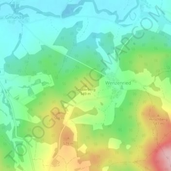
Name: Gruberberg topographic map, elevation, terrain.
Location: Gruberberg, Rötz, Landkreis Cham, Bayern, 92444, Deutschland (49.32706 12.55859 49.32716 12.55869)
Average elevation: 504 m
Minimum elevation: 439 m
Maximum elevation: 635 m
Thank you for supporting this site ❤️
Make a donation
Make a donation